General Description
Today is one of the hardest days of the trail, you can easily pick that up from looking at the amount of ascent, descent and the day’s length.
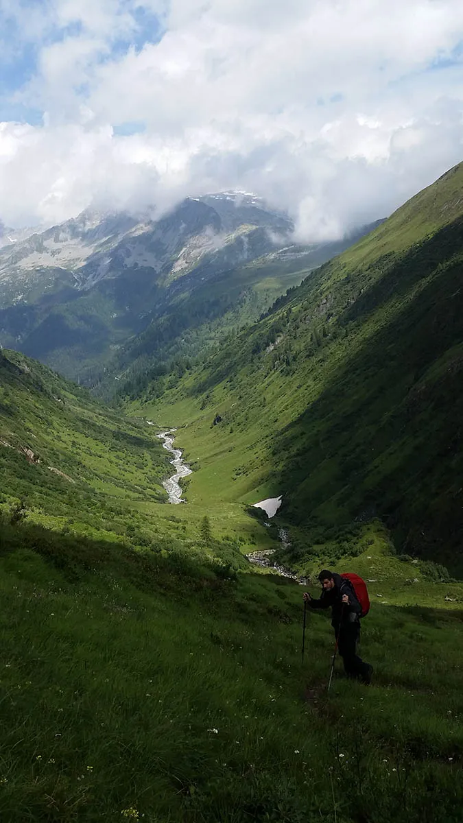
The day is quite easy to explain, first we climb to the Gtdederscharte mouantain pass and from there descent to the Vintl valley.
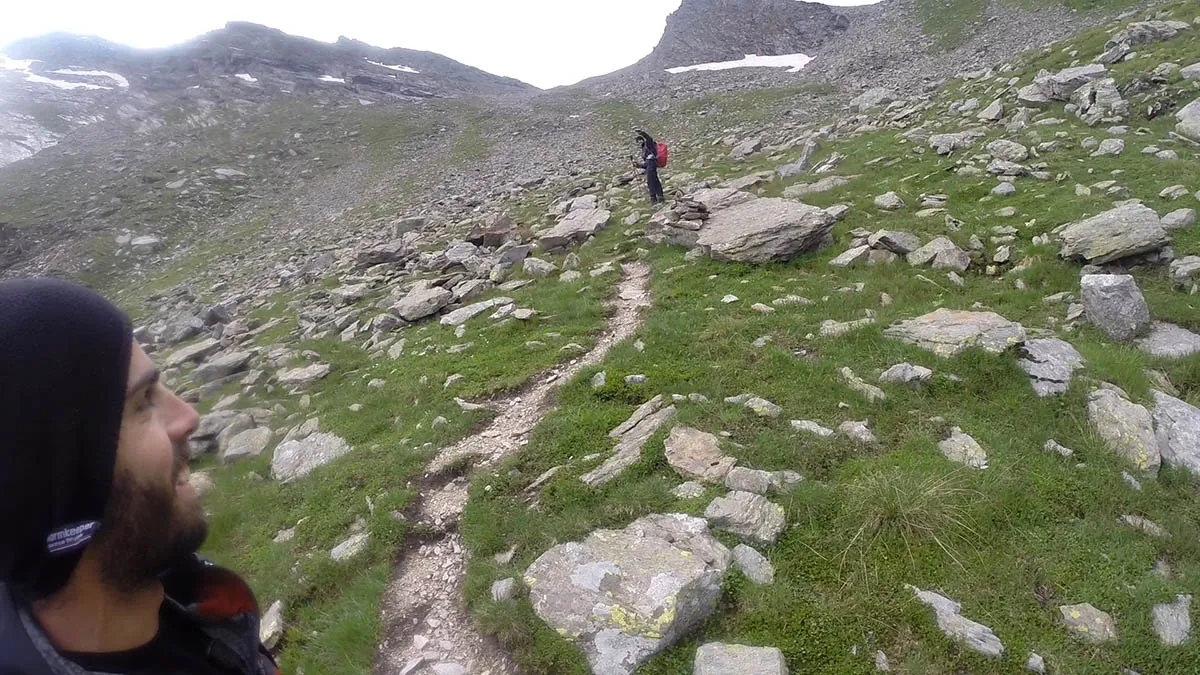
The start of the climb is moderate, but after a while we enter the woods and the incline raises. At some point we leave the woods, keep walking on a flat path and then go back to ascending, this time on a very steep incline, all the way to the mountain pass – Gtdederscharte.
For me this was the hardest part of the trail. But it is also because we had a bad weather that day and made a stupid navigation mistake that cost us another hour of hiking.
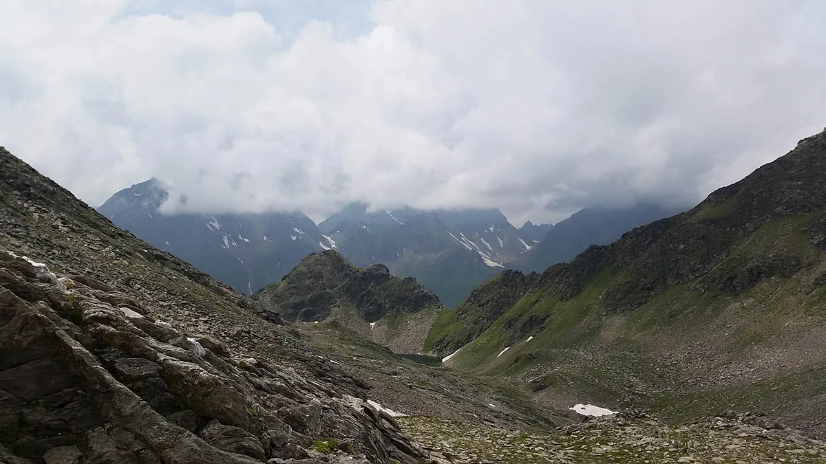
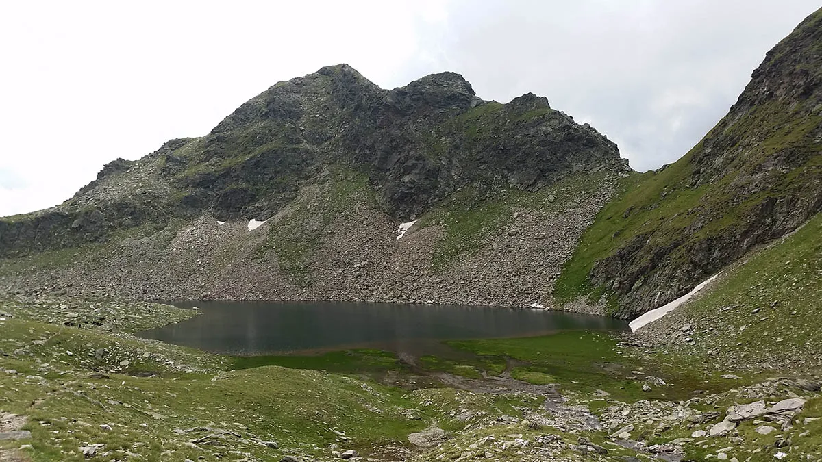
From the mountain pass we start descending in a steep hiking path, pass near a little lake and if you are lucky you will get to see some shepherd grazing their flock.
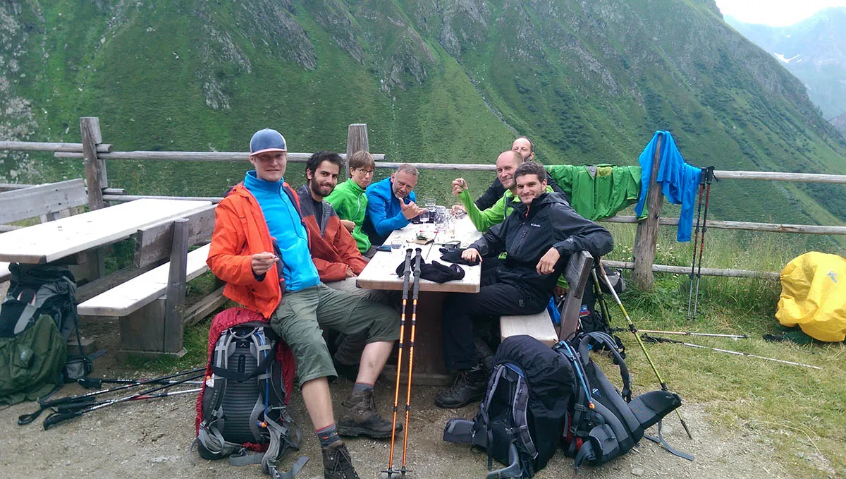
About an hour into the descent we pass near a little place called Obere Engbergalm, it’s a little hut where a family lives and serve some food and drinks. We met our fellow Munich-Venice hikers sitting here. By the time we got here they already drank all the beer supply…
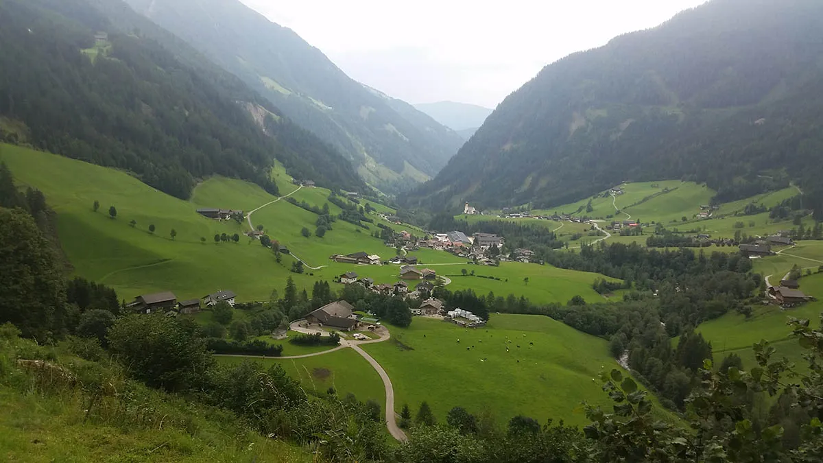
From this point the descent gets more moderate and turn into a wide path, all the way to a car road leading into Pfunders.
Sleeping: there are a few options in Pfunders, the main one is Gasthof Brugger +4347662506. We acutely slept in a little place that the landlord in Stein ordered for us, I don’t have the phone number or the exact spelling of the name, but it’s something like “Shinder Hof”. Anyway, you spend the evening in the Gasthof Brugger because that is where you can get food. There is also an ATM here, good opportunity to get some cash, because tomorrow we go back into the mountains and huts!