General Description
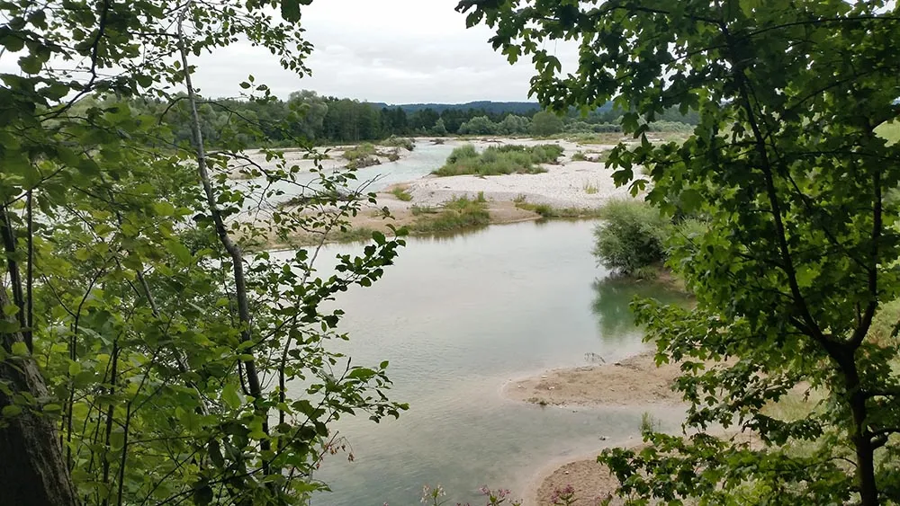
The second day is very similar to the first one – We keep going along the Isar River, mostly on the biking paths, at times on asphalt roads.
It should be noted that navigation on this day is harder than the first day. There are no markings, you need to rely on basic intuition and asking people along the way.
If you have the GPS files that comes with the book (look at “Tips” page) you can use those. But don’t count on the GPS files from Fernwege on this day, they are outdated for this part.
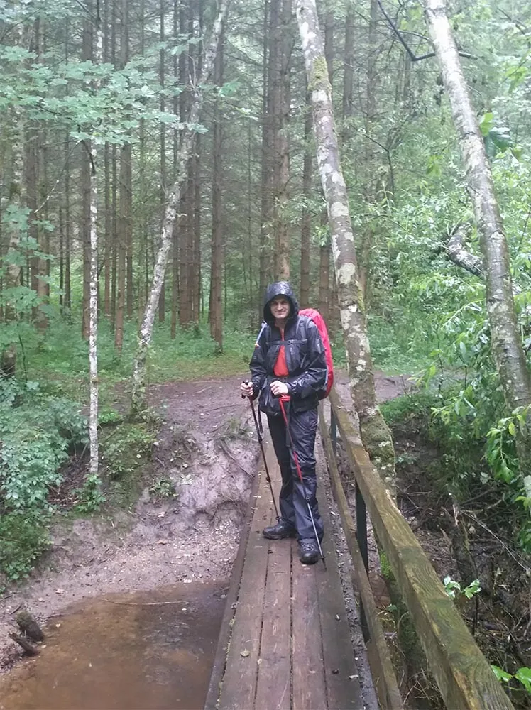
At some point today, there’s a split with 2 signpost, one says “To Bad Tolz through the Isar” while the other one is “To Bad Tolz through the roads”. A local man advised us to take the later, because the path on the Isar is not so good. It might be different when you walk (also note that we did this day under constant rain).
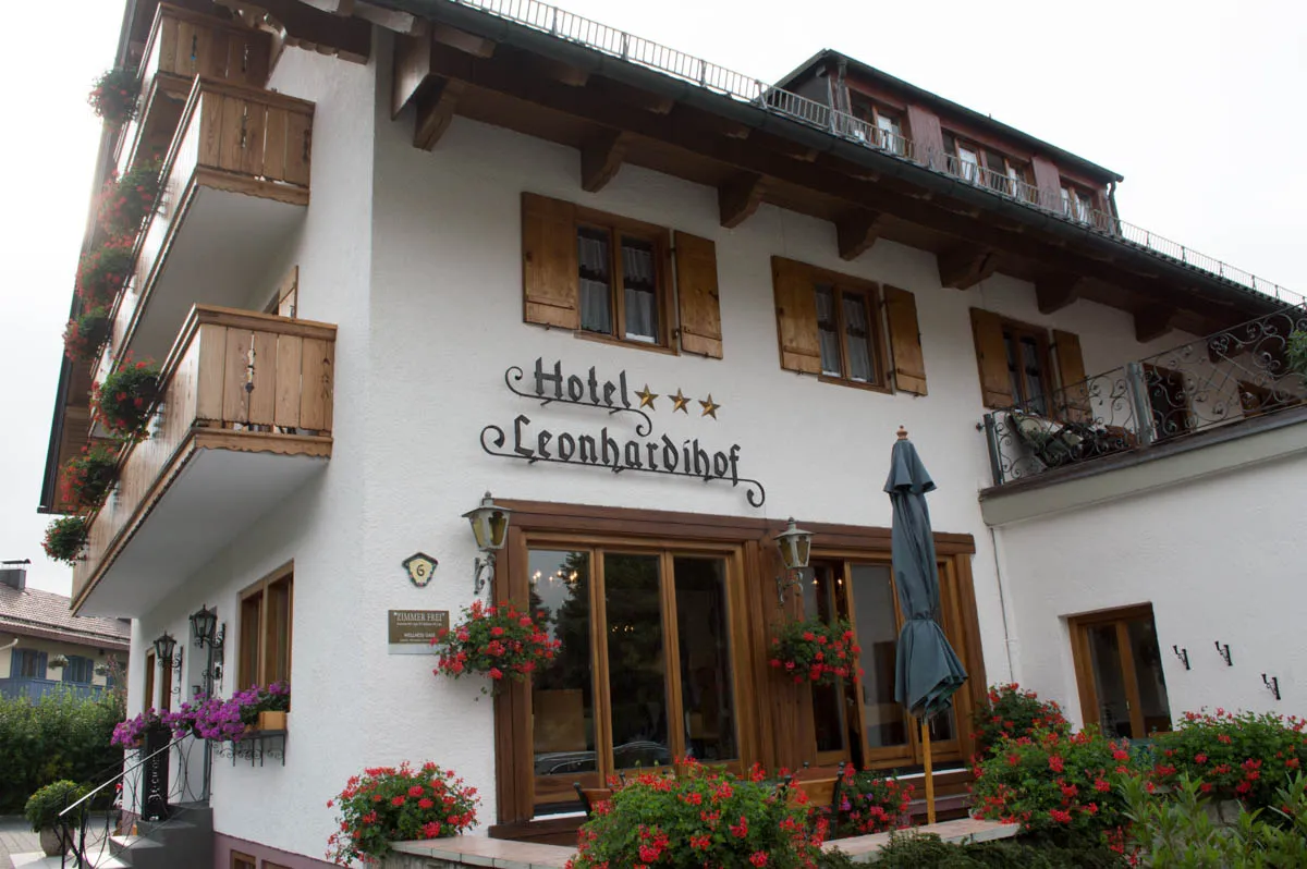
Sleeping: Like yesterday, we finish in a town, so there are many options. We stayed at Hotel Leonhardihof.